In a forum organized by IICA, researchers from CENTROGEO, of Mexico, explained how this on-line system will contribute to rural-area based development in Central America.
San Jose, May 7, 2015 (IICA). A new Geoweb system that will become operational this year will contribute to the formulation of public policies on rural-area based development in the Central American Dry Corridor and the Dry Arch area of Panama. The system, which is an interactive, cross-discipline platform that will make strategic information available to decision makers is also compatible with mobile devices.
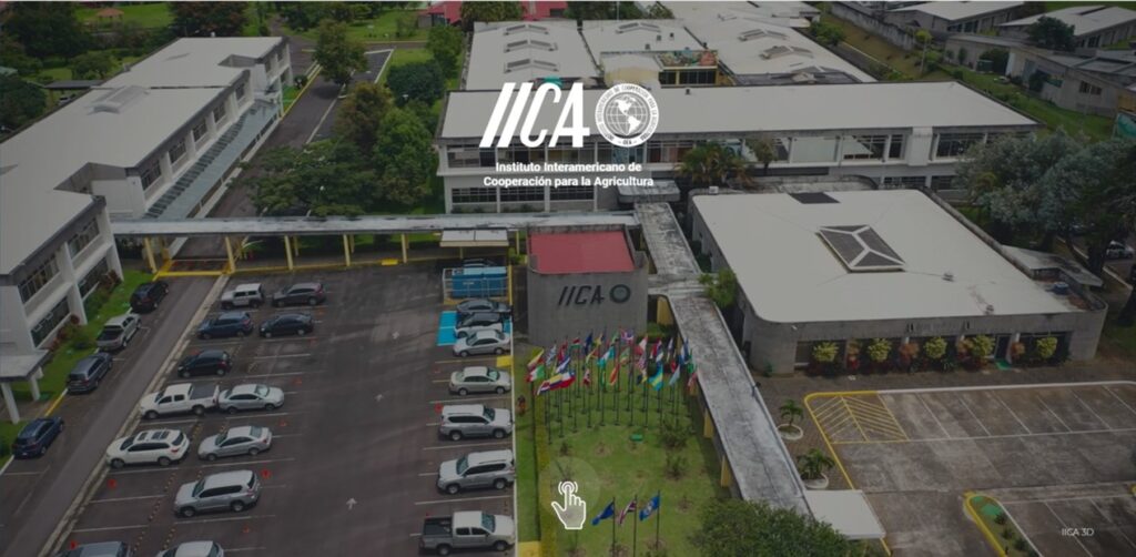
Details of both the on-line platform and the accompanying knowledge network were presented during a technical forum held at the Headquarters of the Inter-American Institute for Cooperation on Agriculture (IICA), in San Jose, Costa Rica.
The new technological tool and network are one outcome of an agreement reached between IICA and the Center for Research in Geography and Geomatics (CENTROGEO) of Mexico.

The system will provide geo-referenced information, via maps, of natural resources, soil use, demographic and economic trends and the climate outlook for the Corridor and Arch, which will be the focus of attention initially.
IICA Director General Victor Villalobos noted “This initiative will enable us to respond more effectively to requests from the Ministers of Agriculture on a wide variety of subjects that demand timely and technically sound solutions.”
Jose Ignacio Chapela, Director General of CENTROGEO, added “A numerical figure is more useful when it is incorporated into a map and is expressed in geographic terms, by providing a different perspective and facilitating nonintuitive decision making.”
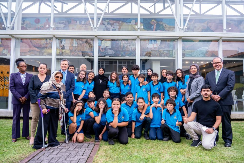
Villalobos and Chapela participated in the forum, transmitted via the Internet throughout Latin America, along with IICA specialists, CENTROGEO researchers and representatives of agricultural and environmental sector institutions.
This IICA-CENTROGEO project complements an initiative launched by the Government of Mexico to promote sustainable development in the South Pacific region of the country, specifically in the states of Michoacan, Guerrero, Oaxaca and Chiapas.
The Central American Dry Corridor and the Dry Arch area of Panama, given their long dry season and the possibility of drought even in the rainy season, are very much at risk from the effects of climate. The levels of poverty, food insecurity and degradation of natural resources found in both are a reflection of their social and environmental vulnerability (See Director General technical note).
Development of Geointelligence
According to Chapela, geointelligence is defined as the analysis of geographic information for the purpose of decision making. He added that this process requires a cross-discipline approach, one that takes into account the points of view of different professions in an attempt to find comprehensive solutions to the problems of one or more communities.
CENTROGEO, founded 15 years ago, operates the National Geointelligence Laboratory, where it is developing the Geoweb platform and the knowledge network agreed upon with IICA.
Alberto Porras, a CENTROGEO researcher, explained that other characteristics of the Geoweb system are its ability to use in a single platform geospatial data collected by different institutions, and the need for communication, since the transmission of strategic information to decision makers requires personnel capable of generating multimedia narratives.
According to Jesús Trujillo, a CENTROGEO researcher, “This means that rather than offering an image in .jpg format, the Geoweb tool will make the information available via a Web Map Service in the form of georeferenced images on a map.”
A formal knowledge network comprising government officials, members of academia and farmers will be developed to encourage the use of this information and propose measures that will strengthen rural-area based development and help adapt agriculture to climate change on the pacific coast of Central America.
“We will work to ensure that the network uses the knowledge available through the Geoweb platform to promote the economic and social development of Central America, and that it contributes to a collaborative working environment,” stated Alejandro Mohar, Coordinator of CENTROGEO projects.
Julio Calderon, Executive Secretary of the Central American Agricultural Council (CAC), stated at the technical forum that his organization would help disseminate information about the network and on-line system throughout the region.
The member countries of the CAC are Belize, Costa Rica, El Salvador, Guatemala, Honduras, Nicaragua, Panama and the Dominican Republic.
Salvador Fernandez, Director of Technical Cooperation at IICA, stated that the Geoweb tool will be validated by specialists from IICA, CENTROGEO and other organizations between May and August of this year and should become operational, along with the formal knowledge network, in December.
For further information:
salvador.fernandez@iica.int

