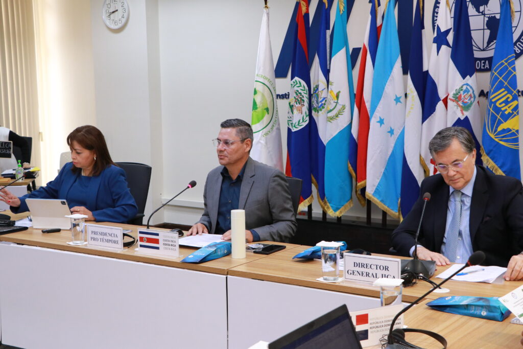
Organizaciones capacitaron a funcionarios de ministerios de Agricultura de naciones de América Latina y el Caribe en el uso de herramientas basadas en información satelital, de acceso libre, para facilitar la toma de decisiones sobre seguridad alimentaria y resiliencia del agro en la región.
San José, 12 de junio, 2023 (IICA) Un centenar de funcionarios vinculados con la generación de estadísticas sobre agricultura de más de 10 países de América Latina y el Caribe ampliaron sus capacidades en el uso de herramientas digitales, en especial la teledetección, con lo cual se pretende mejorar las estimaciones agropecuarias nacionales y el monitoreo de impactos climáticos extremos sobre la agricultura en esta región.
Lo hicieron en un taller técnico organizado por el Instituto Interamericano de Cooperación para la Agricultura (IICA) y NASA Harvest, el Programa de Agricultura y Seguridad Alimentaria de la NASA, dirigido por investigadores de la Universidad de Maryland.
NASA Harvest tiene como misión facilitar la adopción de observaciones satelitales de la Tierra por parte de organizaciones públicas y privadas, con el objetivo de impulsar la seguridad alimentaria, la agricultura y la resiliencia humana y ambiental, a partir de información basada en ciencia para la toma de decisiones de gobiernos y productores.
En el encuentro, denominado “El uso de herramientas digitales en las estadísticas agrícolas nacionales y en el monitoreo de impacto de eventos climáticos extremos”, especialistas de NASA Harvest presentaron las principales herramientas que tienen disponibles para estos fines y que son de acceso libre para los países de la región: Global Agriculture Monitoring System, AGMET Tool, CROP Monitor y Global Crop Monitor.
Estas plataformas brindan información sobre condiciones, desarrollo y salud de los cultivos, área cultivada, alertas tempranas, y estado y condiciones agroclimáticas que pueden afectar la producción en países vulnerables a la inseguridad alimentaria; en procura de reforzar las acciones y la aplicación de políticas en materia agrícola, de intervención humanitaria y de seguridad alimentaria, entre otras.
“La variedad es muy amplia, hay muchísimos satélites y sensores con distintas resoluciones, el potencial que existe para temas agrícolas y de cambio climático es muy grande”, aseguró Estefania Puricelli, economista Agrícola y codirectora de Mercados y Comercio del Departamento de Ciencias Geográficas de la Universidad de Maryland.
“Generar estos espacios de intercambio es sumamente importante, hay mucha heterogeneidad en el uso de estas herramientas en los distintos países y puede haber mucha cooperación entre ellos. Los que están más avanzamos pueden colaborar con aquellos que empiezan o están en fases intermedias, porque las regiones son similares y sus limitaciones también. Tratamos de escuchar sus necesidades para poder trabajar a partir de allí”, agregó Puricelli.
Durante el taller también se abordó la importancia estratégica de las estimaciones para la economía y finanzas de los países, el diseño de políticas y la seguridad alimentaria global.
“El IICA considera estratégico para sus 34 países miembros el uso de datos espaciales para el monitoreo de la agricultura, por ejemplo, con relación al impacto de cuestiones climáticas o cualquier otra variable, buscamos apoyarlos para que puedan mejorar sus capacidades en materia de estadísticas agrícolas”, expresó Federico Bert, responsable del programa de Digitalización Agroalimentaria del Instituto.
“Hay muchas herramientas disponibles y es clave homogeneizar criterios en los países, estándares de uso de las aplicaciones disponibles”, añadió.
El taller de IICA y NASA Harvest se produjo en el marco de la Semana de la Agricultura Digital 2023, un espacio impulsado por el Instituto para el diálogo y la acción colectiva, que tiene como objetivo impulsar una digitalización agroalimentaria dinámica e inclusiva en las Américas.
Forma parte de una serie de trabajos en áreas prioritarias de la agenda de transformación de los sistemas agroalimentarios, a través de los cuales el IICA busca dar forma a una alianza continental para la seguridad alimentaria y el desarrollo sostenible.
Necesidades comunes
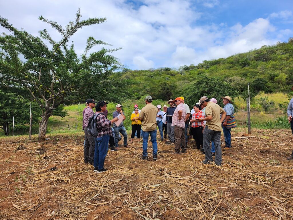
En el encuentro de dos días se presentaron casos de Argentina, Ecuador y El Salvador en el uso de herramientas digitales de teledetección y sobre sistemas de estadísticas agropecuarias.
Los representantes de los organismos oficiales de cada país dedicados a estos temas coincidieron en que hay una necesidad común de mayor financiamiento, desarrollo de capacidades para acceder y mejorar el uso de las herramientas tecnológicas disponibles, y mayor conexión con los tomadores de decisiones con el fin de asegurar más apoyo e inversiones en estas áreas.
“La incorporación intensiva de las tecnologías digitales nos ha permitido reducir significativamente la incertidumbre sobre estimaciones agrícolas. Existe una demanda creciente por este tipo de productos en particular de los organismos vinculados al monitoreo medioambiental”, mencionó Fernando Monti, de la oficina de Estimaciones Agrícolas de la Secretaría de Agricultura, Ganadería y Pesca de Argentina.
“Conocer de qué disponemos los países es muy útil, son necesarias alianzas para tener acceso a imágenes satelitales por las limitantes financieras en muchos casos, contar con mejores herramientas y capacitación es de mucha utilidad en cuanto al monitoreo de cultivos”, complementó Sergio Rafael López, director de la Dirección de Información Geográfica, Estratégica y Gestión de Riegos del Ministerio de Agricultura, Ganadería y Alimentación de Guatemala.
Carlos Castellón, de la División de Estadísticas Agropecuarias del Ministerio de Agricultura y Ganadería de El Salvador, rescató la importancia de avanzar en materia de “capacitaciones, dejar instaurados más conocimientos en las dependencias y ampliar la investigación en nuevas herramientas tecnológicas” para aumentar el uso de la teledetección en el agro.
Blanca Simbaña, analista de la Dirección General de Generación de Geoinformación Agropecuaria de la Coordinación General de Información Nacional Agropecuaria de Ecuador, resaltó la necesidad de contar con “presupuesto para comprar imágenes satelitales de más alta resolución y poder así generar información geográfica oportuna y determinar la cobertura de cultivos en sitios donde las parcelas son muy pequeñas o cuando las siembras son súper escalonadas”.
Adicional a este evento, el IICA, NASA Harvest y FAO elaborarán un reporte que analice el uso actual de herramientas de teledetección para las estimaciones agrícolas en los países de la región. Su finalidad será brindar información de referencia sobre la situación y experiencias en el tema, orientado a hacedores de políticas y organismos internacionales, entre otros.
“El reporte sacará una foto, esperemos que con la mayor cantidad de píxeles posibles, sobre la situación en la que está cada país y cómo pueden aprovecharse con mayor eficiencia las plataformas tecnológicas que están disponibles en la región”, concluyó Federico Bert, del IICA.
Más información:
Gerencia de Comunicación Institucional
comunicacion.institucional@iica.int