Orbiting hundreds of kilometers above the Earth, satellites can provide a unique and comprehensive perspective on the state and changing conditions of our soils, crops, and land use.
Ottawa, On. Today, scientists and policy makers who manage and report on agriculture rely on this space-based data to assess risks to productivity, to monitor how land use is adapting to a changing climate, and to determine crop productivity. The data generated by satellite monitoring is of significant interest to a large and diverse group of users, including scientists, policy analysts, governments, commodity bodies, futures markets and crop insurance companies.
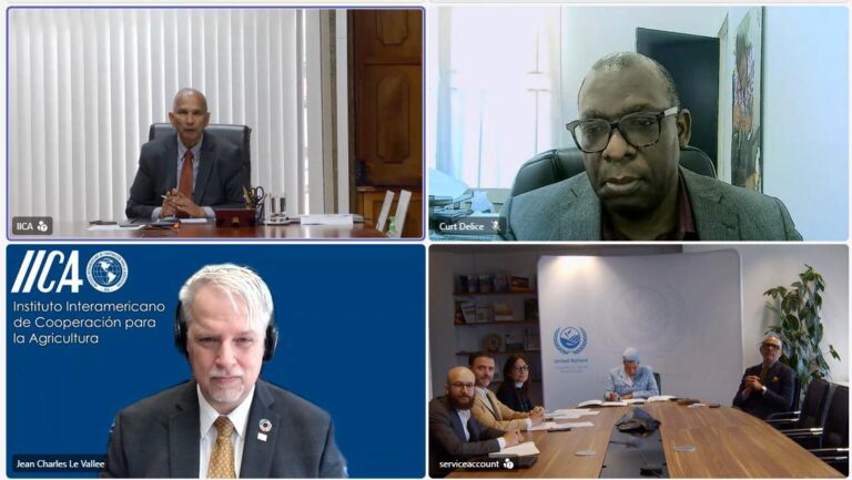
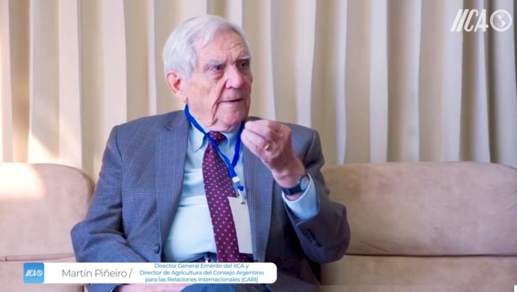
In July, IICA Canada hosted a webinar that introduced participants to remote sensing and demonstrated how satellites are being used to estimate water in the soil, map crop type and condition across large areas, and estimate biophysical metrics such as crop biomass. The presenters were Dr. Heather McNairn, Research Scientist with the Government of Canada, and Dr. Alyssa Whitcraft, Assistant Professor at the University of Maryland. Examples were drawn from the extensive research, operations and applications by Canada’s federal agriculture ministry, Agriculture and Agri-Food Canada. The webinar provided an overview of available satellite technologies and how to access data. The webinar also highlighted opportunities for regional collaboration and coordination around research, training, and operational transition of satellite-based methods, through the GEO Global Agricultural Monitoring and AmeriGEOSS activities.
Following the presentations from Dr. McNairn and Dr. Whitcraft, a question and answer session was held. Lively discussions were held and a great deal of interest was expressed from the participants in the webinar. The delegation plans to continue the discussion regarding collaboration with Dr. McNairn and Dr. Whitcraft on training opportunities and new ways of using geospatial data to enhance decision-making and stewardship in agriculture in the Americas.
English session:
Spanish Session:
For more information:
Audia Barnett
audia.barnett@iica.int