NASA Harvest, the University of Maryland, and IICA present a joint study that surveys and promotes the use of remote sensing to develop agricultural statistics in Latin America
San Jose, 20 May 2024 (IICA) – In collaboration with NASA Harvest and the University of Maryland, the Inter-American Institute for Cooperation on Agriculture (IICA) released the results of the first survey on the application level of remote sensing to improve agricultural statistics and reports in Latin American and Caribbean countries.
The results showed frequent use of information derived from remote sensing in agricultural statistics and reports of various countries. However, significant differences were found in the degree of utilization of these technologies among the different countries.
The presentation took place in a webinar during the so-called Pre-Week of Digital Agriculture, a discussion forum that serves as the official launch and preview of the topics to be addressed in September at IICA’s headquarters in San Jose, Costa Rica, during the third edition of Digital Agriculture Week (DAW).
This event, organized by IICA in partnership with CAF-Development Bank of Latin America, ECLAC, and the International Maize and Wheat Improvement Center (CIMMYT), will bring together and foster collaboration among the main stakeholders of the AgTech ecosystem in the region.
Fifteen selected startups will travel to participate in DAW in person, with all expenses paid. AgTech companies from the Americas offering digital solutions already available for use can apply at www.semanaad.iica.int.
NASA Harvest is a consortium created by the United States space agency, whose mission is to advance the adoption of satellite Earth observations to strengthen agriculture and food security globally.
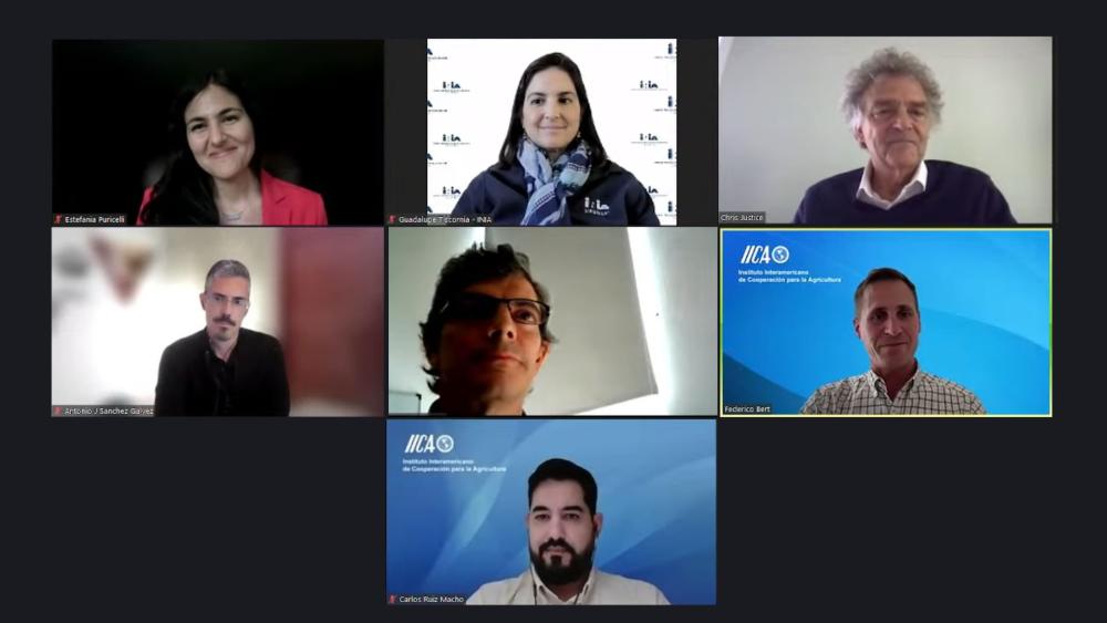
Christopher Justice, Chief Scientist of NASA Harvest, explained during the webinar that the document compiles the work of NASA Harvest with IICA and specialists from many countries in the region, aiming to promote the use of remote sensing to address food security challenges. “We hope to continue working closely with IICA, given that joint efforts provide great opportunities to create knowledge. At this moment, nothing is more important than international cooperation”, said Justice.
Federico Bert, Manager of the Digitalization of Agrifood Systems Program at IICA, explained that digital technologies are a priority on the Institute’s technical cooperation agenda and that remote sensing is a concrete opportunity to apply these technologies to generate agricultural statistics and reports, which are essential for enhancing the sector’s productivity and sustainability.
The situation in each country
The analysis was based on information presented at a workshop held at IICA in June 2023, showing the different strategies of each country in the region regarding image processing, information generation and visualization, as explained by Estefanía Puricelli and Antonio Sánchez Gálvez, scientists from NASA Harvest.
The specialists observed a frequent use of remote sensing information, despite significant heterogeneity in usage related to access and training. In that sense, they cited a survey in which a majority of farmers admitted that they do not use information generated from satellite images because they need additional training or do not know how to access the data.
“The report provides tools to increase training efforts in the region focused on each country, and new tools are already being designed”, said Puricelli.
Also present at the webinar was Guadalupe Tiscornia from the National Agricultural Research Institute (NARI) of Uruguay, and Fernando Monti from the Secretariat of Bioeconomy of Argentina, who explained how they are advancing in the use of space technology to develop agricultural estimates and statistics in these two countries, which are food production powerhouses.
The report “Uso de teledetección en las estadísticas e informes agrícolas en América Latina: Estado de situación” (“Use of Remote Sensing in Agricultural Statistics and Reports in Latin America: State of Affairs”) is available at: https://repositorio.iica.int/handle/11324/22030.
More information:
Institutional Communication Division.
comunicacion.institucional@iica.int